
You are walking in the city and launch Waze to reach a specific point on foot. The app calculates a route, but directs you towards a fast road without a sidewalk. This discrepancy between the guidance provided and the reality for pedestrians is common because Waze remains primarily a tool designed for motor vehicles. Understanding this limitation allows you to better utilize the app for your urban walking trips.
What Waze Really Calculates When You Walk
Waze does not have a dedicated pedestrian mode with a calculation engine suited for walking. When you select the pedestrian option, the algorithm remains that of road navigation. It looks for the shortest or fastest route in distance, without considering pedestrian crossings, pedestrian zones, or shortcuts accessible only on foot.
In practice, the app may send you onto a four-lane boulevard rather than a quiet parallel street lined with sidewalks. It may also ignore a crossing park that would halve your walking time.
You may have already noticed that the proposed route sometimes runs along a fast lane prohibited to pedestrians? This is the direct consequence of this operation. Before configuring anything, keep in mind that planning a pedestrian route with Waze requires manual verification that the app will not do for you.
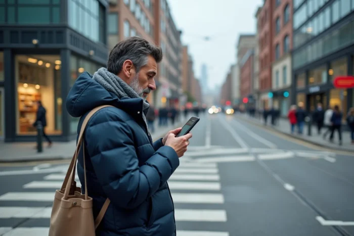
Configuring Waze for a Pedestrian Route in Urban Areas
Even without an optimized pedestrian mode, a few adjustments can make the guidance more usable on foot. The idea is to reduce sources of confusion and adapt the display for slow use.
Disable Unnecessary Road Alerts
Reports of speed cameras, traffic jams, or fuel prices are of no interest when you are walking. In the app settings, under “Alerts and Reports,” you can disable these notifications. This clears the screen and reduces distractions while walking.
Check the Route Before You Go
Start the route search without starting navigation. Examine the route on the map. If you see that Waze is directing you towards a route that you know is unsuitable for walking, visually identify a parallel street and mentally adjust your path.
Testing a route on a familiar journey before using it in unknown terrain remains the most reliable advice. This way, you identify the types of errors the app makes in your neighborhood, and you learn to anticipate them elsewhere.
Add Waypoints to Force Passage Through Pedestrian Streets
Waze allows you to insert waypoints. By manually adding a waypoint in a pedestrian area or park, you force the algorithm to modify its route. The manipulation takes a few seconds:
- Start the search for your final destination without starting navigation
- Tap on the arrival bar at the bottom of the screen, then select “Add a Stop”
- Search for a location within the pedestrian area or park you want to cross
- Confirm: the route recalculates incorporating this waypoint
This method is manual, but it gives real control over the proposed route. For regular trips (home-office, for example), you can save your favorite waypoints to save time.
The AI Innovations of Waze in 2026 and Their Usefulness for Pedestrians
Waze has recently integrated artificial intelligence functions via Gemini. Among them, voice search for destinations and voice reports allow you to prepare a trip without touching the screen. For a pedestrian with their hands occupied (shopping bag, stroller), voice command simplifies address entry.
The app also learns the user’s route preferences. If you regularly take the same path, Waze eventually prioritizes options that match your habits. For repeated urban trips, this personalization reduces setup time.
These developments remain focused on road navigation. No recent update adds specific data for pedestrians (sidewalk width, presence of crosswalks, accessibility for people with reduced mobility). The improvement is therefore indirect: the interface becomes smoother, but pedestrian route calculation does not progress.

When Google Maps or Another GPS App is Preferable for Walking
Why persist with Waze if other tools manage walking better? The question deserves to be asked frankly. Google Maps offers a pedestrian mode with adapted data: pedestrian crossings, paths in parks, estimated walking time calibrated at a speed of 4 to 5 km/h.
Waze retains an advantage in a specific case: mixed trips. You walk to a point, then get in a car or take a ride-hailing service. In this scenario, staying on Waze avoids juggling between two apps. You switch from pedestrian mode to car mode without restarting a search.
Here are the situations where each tool makes sense:
- 100% walking trip in an unknown city: Google Maps, thanks to its dedicated pedestrian mode and sidewalk data
- Mixed trip walking then driving: Waze, for continuity of guidance and real-time traffic alerts
- Daily walk on a known route: Waze with saved waypoints, if you prefer its interface
- Long urban hike with elevation: a specialized app like Komoot or AllTrails
The choice depends on the type of trip, not on an absolute superiority of one tool over another. The common mistake is to use Waze for everything, including uses for which it was not designed.
Waze remains a high-performing community road GPS. As a pedestrian tool, it functions like an interactive city map, provided you manually correct its suggestions. For simple and repeated urban trips, this approach is sufficient. For complex routes or in unknown terrain, combining Waze with a map check or a dedicated walking app yields better results.